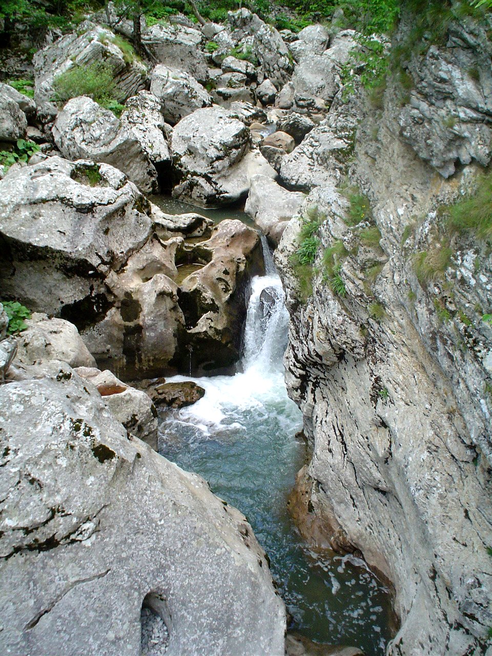
The Vrbas is a major river with a
length of 235 kilometres (146 mi), in western Bosnia and Herzegovina. It is a
right tributary of the Sava river. The city of Banja Luka is located on the
river banks.

The word vrba means "willow"
in Bosnian, Serbian and Croatian, and a number of weeping willow trees adorn
the river banks in Banja Luka.
It lent its name to one of the
provinces (banovinas) of the Kingdom of Yugoslavia, the Vrbas Banovina.
It is a right tributary of the river
Sava. The Vrbas river appears at the southern slope of the Vranica mountain
near the town of Gornji Vakuf, at around 1,530 metres (5,020 ft) above sea
level and it drains central part of the northern slopes of the Dinaric mountain
massif. It empties into the Sava river at around 90 metres (300 ft) above sea
level. Total length of the main watercourse is around 235 kilometres (146 mi).
Average annual rainfall is around 800
l/m2 at the mouth of the Vrbas to the Sava river and up to 1500 l/m2 in the
southern part of the basin. Characteristic mean flow is around 34,6 l/s/km2
Maximum rainfall occurs in the southern parts of the Vrbas basin in the late
autumn and winter months, with minimum quantities in summer, whereas the
northern parts of the basin receive the largest quantities of rain during the
summer months (June–July), with the maximum in November and December.
The most important right tributaries
are the Desna river, the Ugar, and the Vrbanja, and left: Prusačka river,
Semešnica, the Pliva, the Crna Rijeka (Black River), and the Suturlija, which
are located in the middle part of the basin